Surveying
Aerial Photography
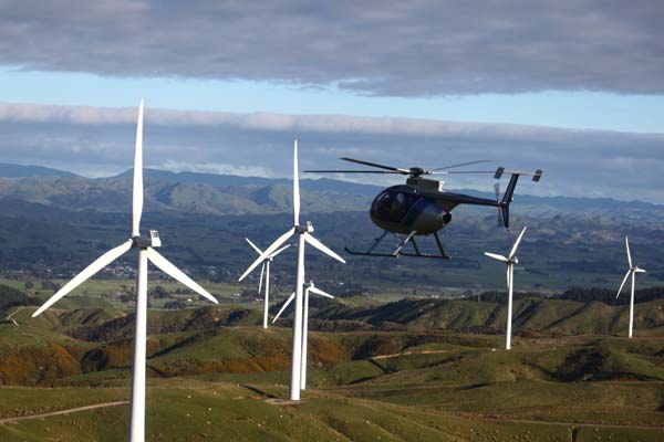
Mid West Helicopters in association with UAV Mapping NZ can provide aerial remote sensing services for multiple domains, specialising in 3D Virtual world capture and high resolution ortho imagery along with point cloud data, for projects of various sizes and complexity.
Mapping can be undertaken with specialist GIS data such as slope, contours and cartographic products all available along with fence lines and accurate paddock areas that account for slope.
3D Virtual world data produced from photogrammetry is underpinning a richer data experience. Modern technology has become increasingly capable of visualising, displaying and analysis of true 3D Data. Using Bentley's Context Capture Mid West can bring this exciting technology to its NZ Customers.
Utilising both full scale helicopter and fixed wing aircraft along with UAV systems the company specialises in linear feature acquisition for engineering and design purposes and can produce detailed and accurate studies of features such as roading, rivers and coastlines.